Kinikinik – Camp in Chezacut
June 19, 2016 4:42 pm 2 Comments
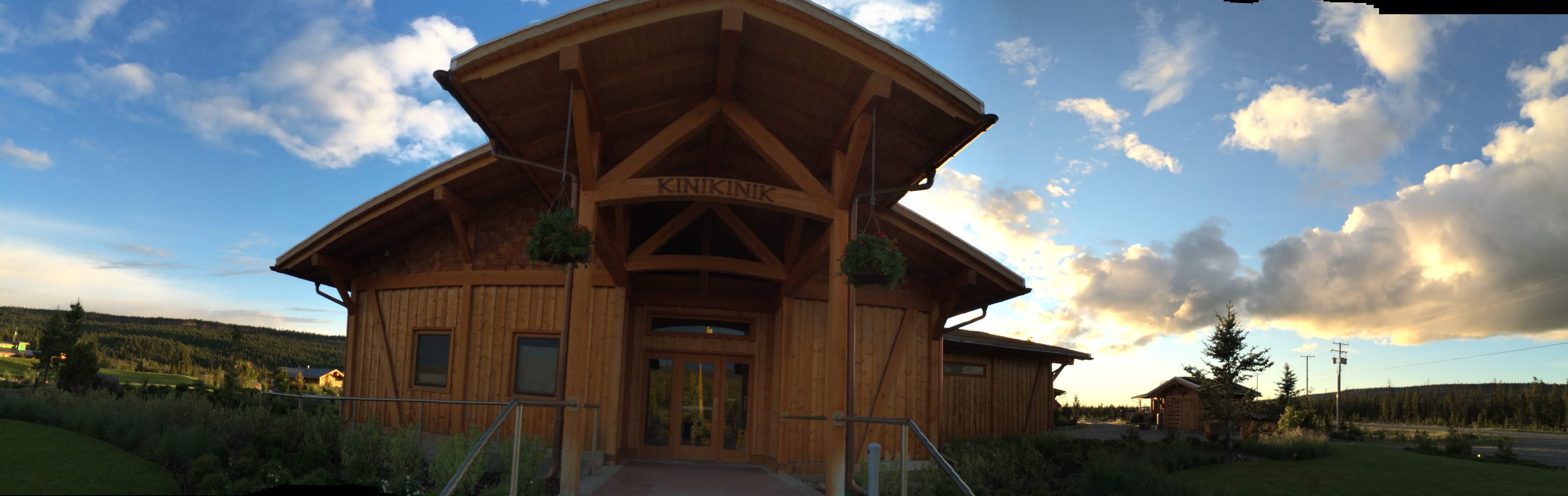
Figure 1. The Kinikinik restaurant and store entrance
Day 1: A quick glimpse into camp life
I was so pleased last week when I found out that my partner, Erin, and I would be staying out at camp in Chezacut for two nights. The area known as Chezacut is about two and a half hours west of Williams Lake, nestled between reservations in the beautiful Tsilhqot’in Nation of the Chilcotin Plateau.
The first day of our adventure began Monday in the early morning at the Williams Lake office. Here, we loaded up the quad and our gear and did a pre-work assessment with the planning forester on this project. This meeting included safety plans, hazard identification, work expectations, and map reading. We finished up by fueling up and heading out of town, prepared for the 2+ hour drive.
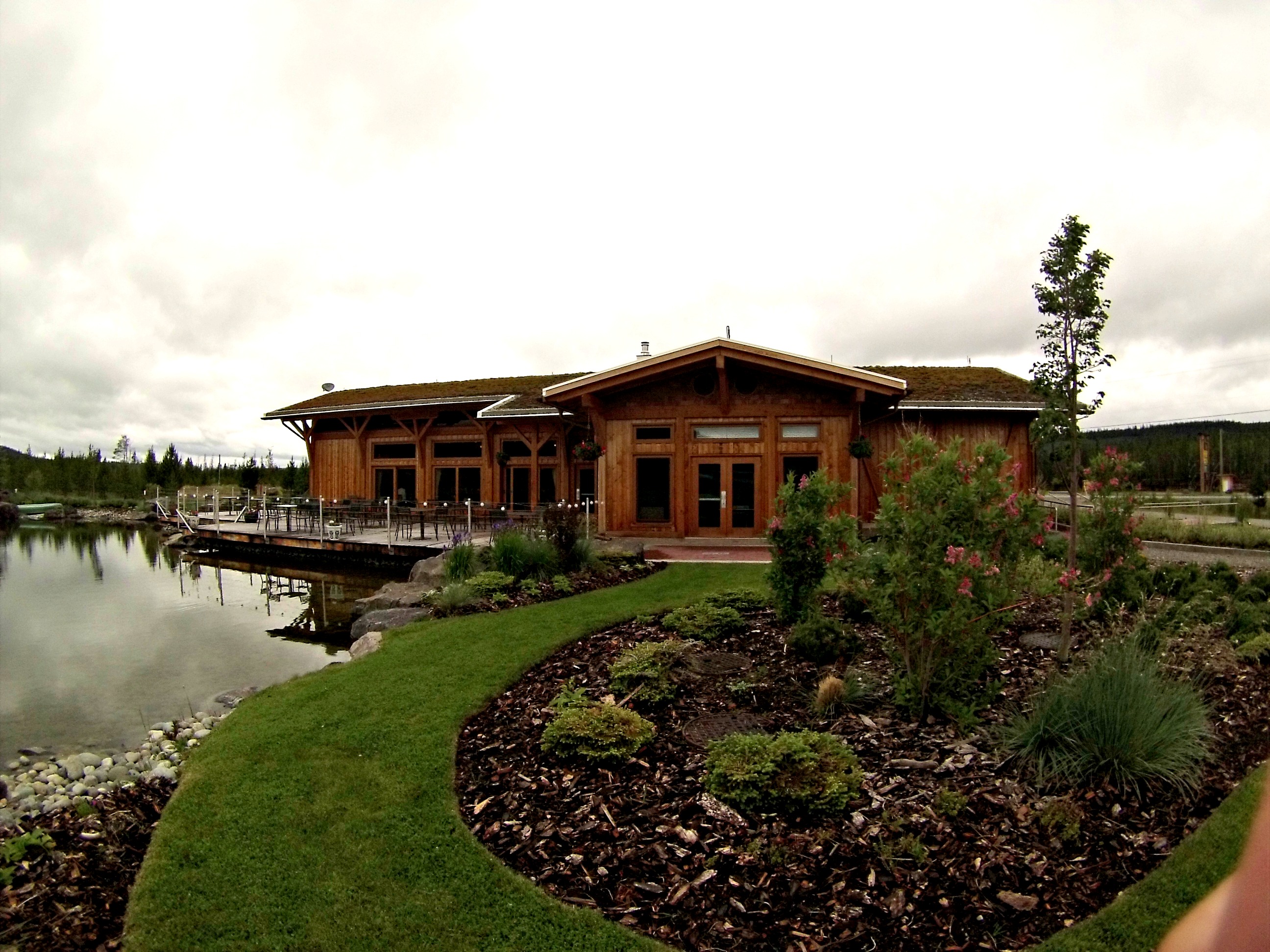
Figure 2. A view of the back of the Kinikinik restaurant & store. A beautiful waterfall and garden surrounds the pond.
I will probably be writing the majority of this blog post from our cozy little cabin located at a resort called Kinikinik, as I am now. West Fraser likes to support locally owned and operated accommodations for its employees, and good thing because this place is great! Kinikinik is a restaurant, store, and chalet location, focused on local, organic, biodynamic farming. They are located an hour and a half west of Williams Lake on Highway 20. I highly recommend you guys check this place out if you’re ever going by, especially for wood oven fired pizza on weekends! They actually have a store in Vancouver, Pasture to Plate, where they sell their ethically and organically raised beef from Rafter 25 Ranch (located a few kilometers down the road from here) and other homemade products. Erin and I are sharing a one bedroom, one bathroom, timber frame chalet with a sod roof.
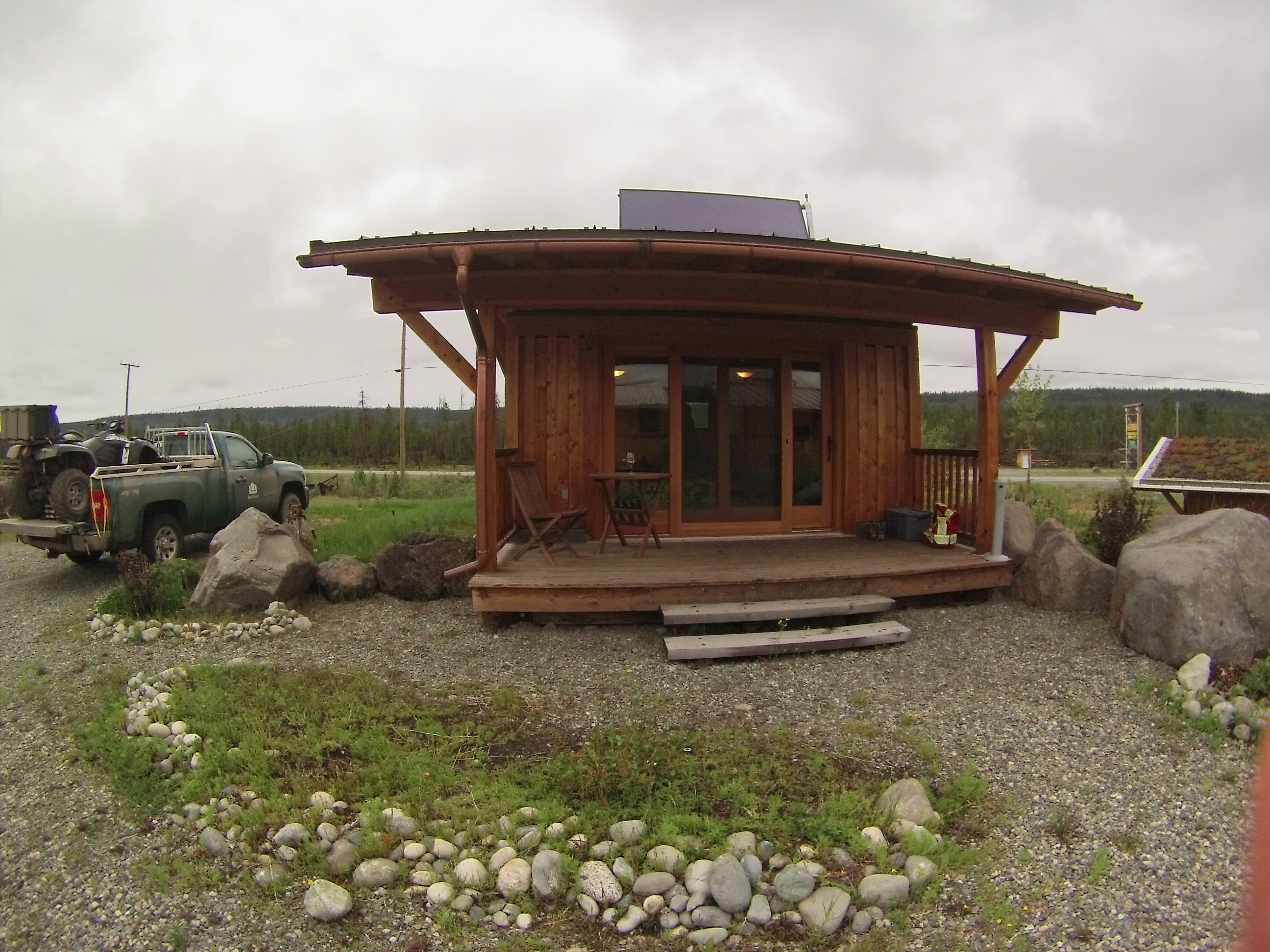
Figure 3: Our chalet/cabin
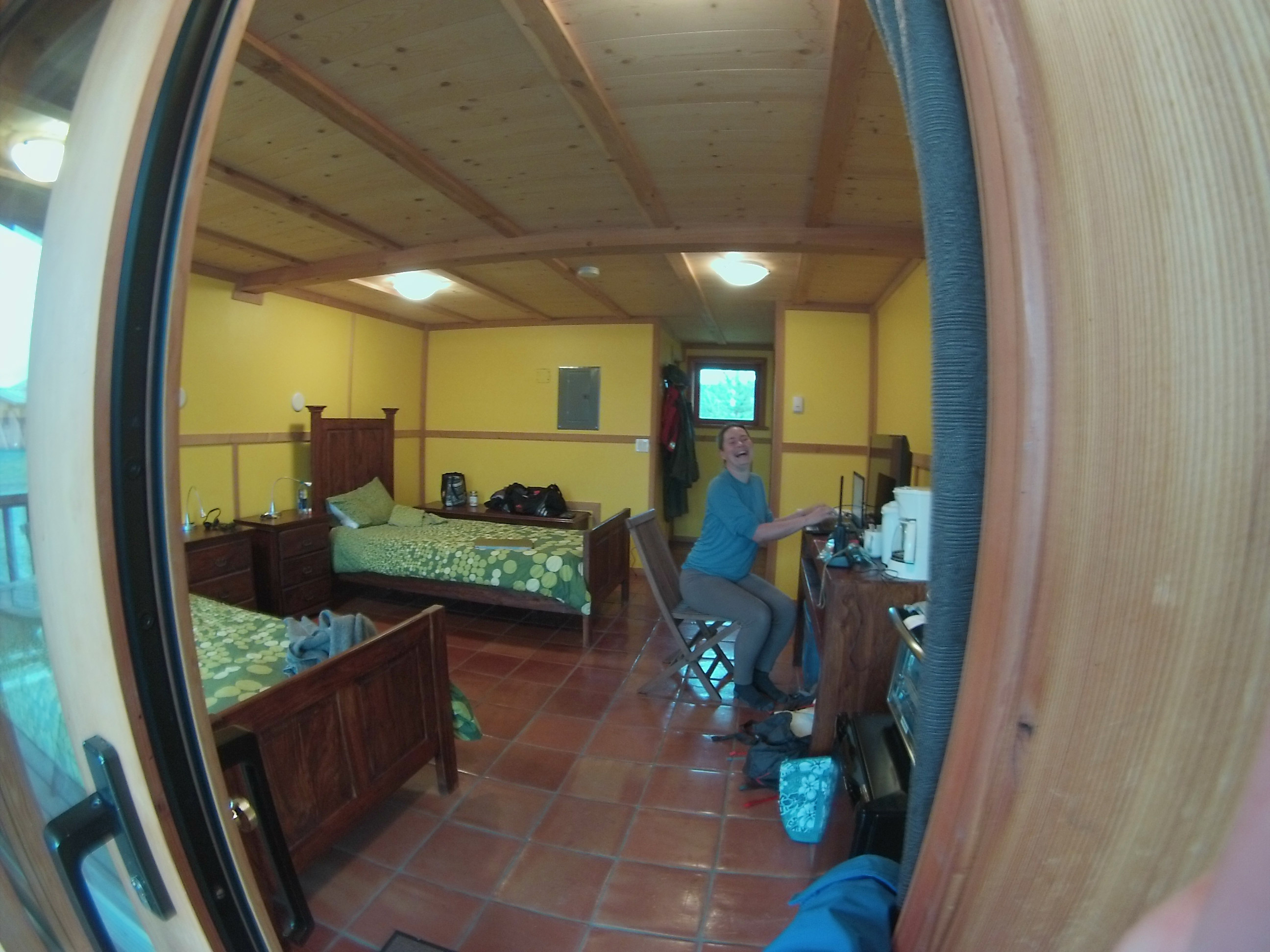
Figure 4: Meet my bush partner, Erin!
Upon arrival in Chezacut, we immediately drove out to our first cutting permit and began hiking the landscape. Our work on the first few blocks consisted of identifying the biogeoclimatic zone variants by gathering information on the soils, plants, and trees. This is called a site plan, and helps the foresters create a plan for how to produce a healthy and thriving forest post-harvest. We were also on the look-out for natural regeneration of pine and spruce, and watching for bird nests (these nests are carefully looked after during harvesting, and often harvesting plans change to accommodate our feathered friends). It rained heavily on us all day but stopped in time for us to find our cabin and unload our gear. Dinner was served to us in the beautiful restaurant, and the kitchen staff prepared us a bag lunch and breakfast to complete our tiring but excellent first day!
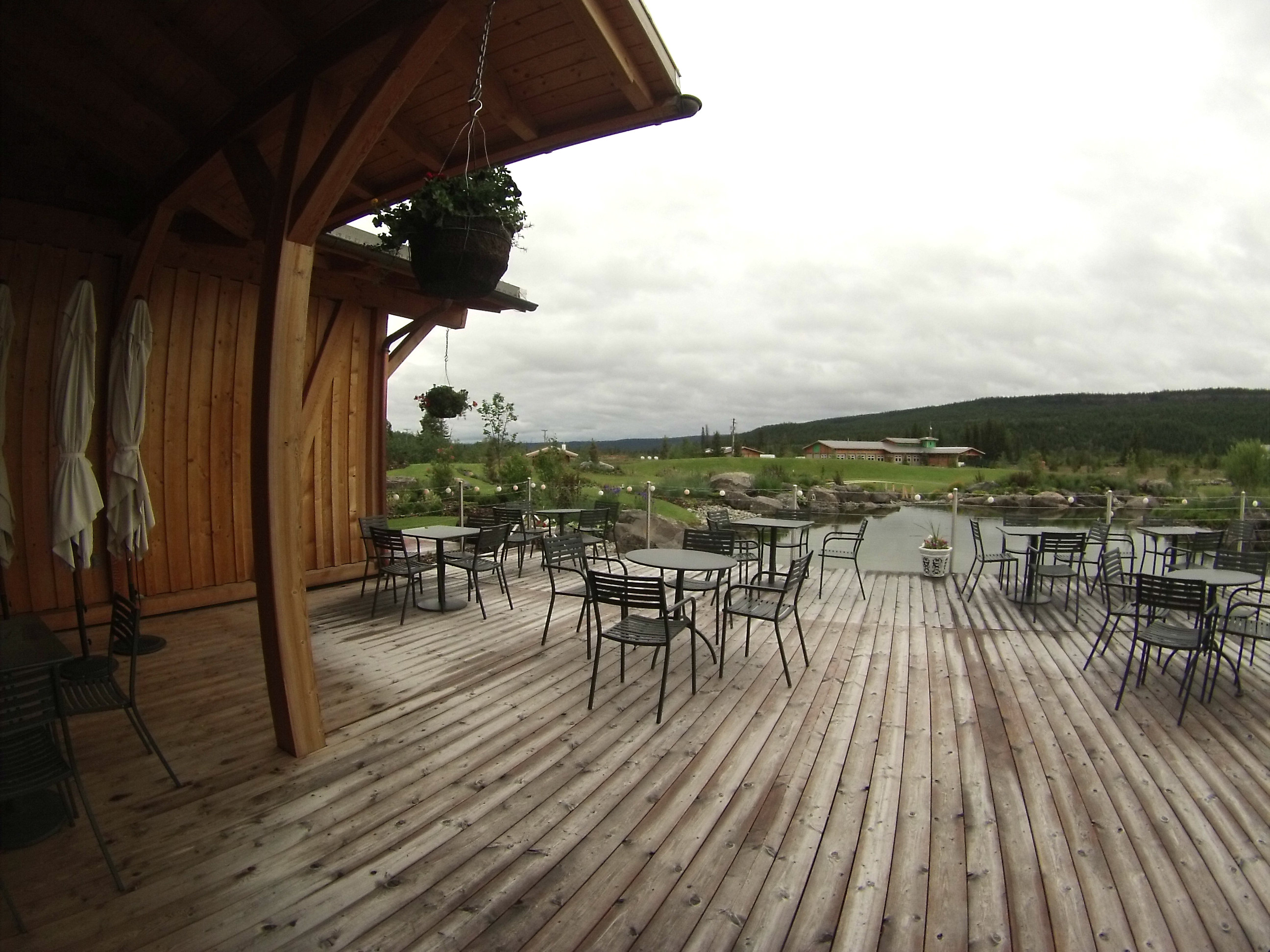
Figure 5: The view from dinner
Day 2: The True Test of the Chilcotin
Am I ever glad to have a warm and relaxing cabin to come home to today! Today was quite the adventure; I’ll start at the beginning.
We awoke shortly after 6:00am and packed up our somewhat dried out gear. It had rained all night and was still drizzling outside; the weather station read of freezing fog. We left camp shortly after 7:00 am and it didn’t take us long to drive to the Chezacut road, only a minute or two, but when we turned onto it we were greeted by a sloppy, soupy, muddy mess. The access road to our permit was even worse! It took us half an hour to travel only 5 kilometers on that road. At that point, we decided it would be safer and quicker to navigate the remainder of the day by quad. I had so much fun driving the ATV through all sorts of muddy terrain, and the helmet really helped keep us dry and warm.
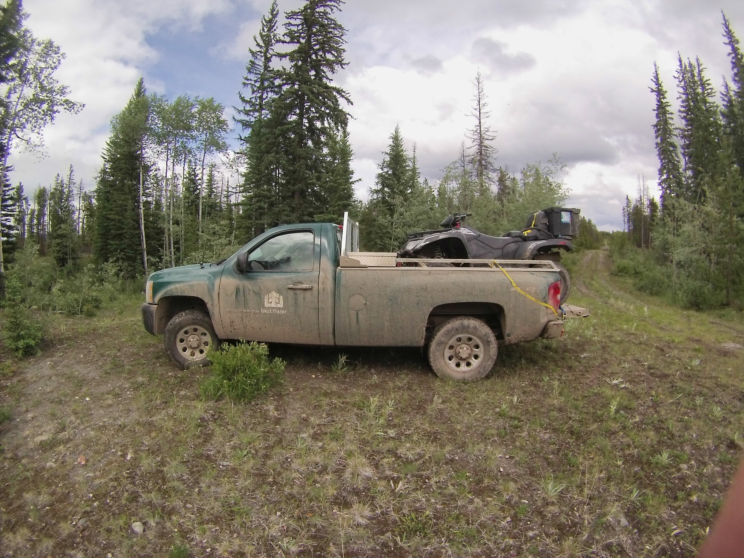
Figure 6. Our truck was pretty muddy after driving down the sloppy roads!
Throughout the day, we were tested by true Chilcotin weather, a variety of short and sometimes violent storms including snow, hail, sleet, and rain. The weather seemed to change every 10 minutes, but by the end of the day we were blessed with some warm sunshine to help dry out the roads and get us home safely.
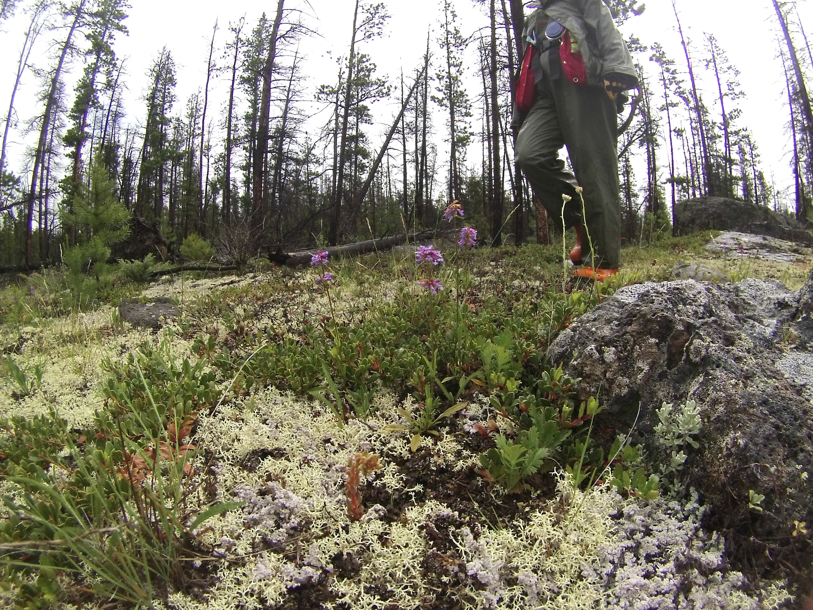
Figure 7. It was common to see large areas of bright white lichens, and many of the small flowering herbs were in bloom. Erin is enjoying walking through the beautiful terrain in this photo!
The work overall went smoothly. Erin and I split up periodically to cover more ground in order to make up lost time from the slow roads. Today we were gathering the usual site plan data as well as collecting ‘recce’ plot information. A recce (short for reconnaissance) plot is a random plot in which you assess the overall quality of the timber. This includes gathering data on average tree heights, volumes, and life stage (green, dead, blown down, etc.).
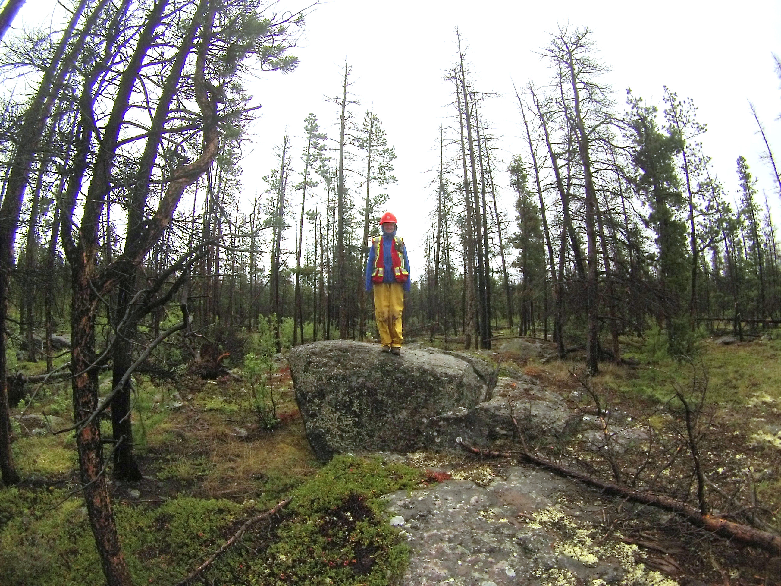
Figure 8. We took a five minute break to explore around in the fields of rock.
We didn’t see any wildlife other than deer and birds today, but tomorrow one of our blocks has been marked out on our maps as ideal grizzly habitat! Although grizzlies have huge natural ranges and could be anywhere, we will probably be sticking together in that area!
This evening, we are settling down for our last night here by preparing our maps and field notes for the long day ahead of us!
Day 3: Unexpected Wildlife
I’m back home, safe and sound! I’ll quickly go over some highlights of our third and final day working in Chezacut. We woke up to a heavy frost in camp and a light blanket of snow at our work sites. The roads were frozen, making it possible to drive our truck the entire way out to our blocks. Erin and I split up for the entire day to get more ground covered.
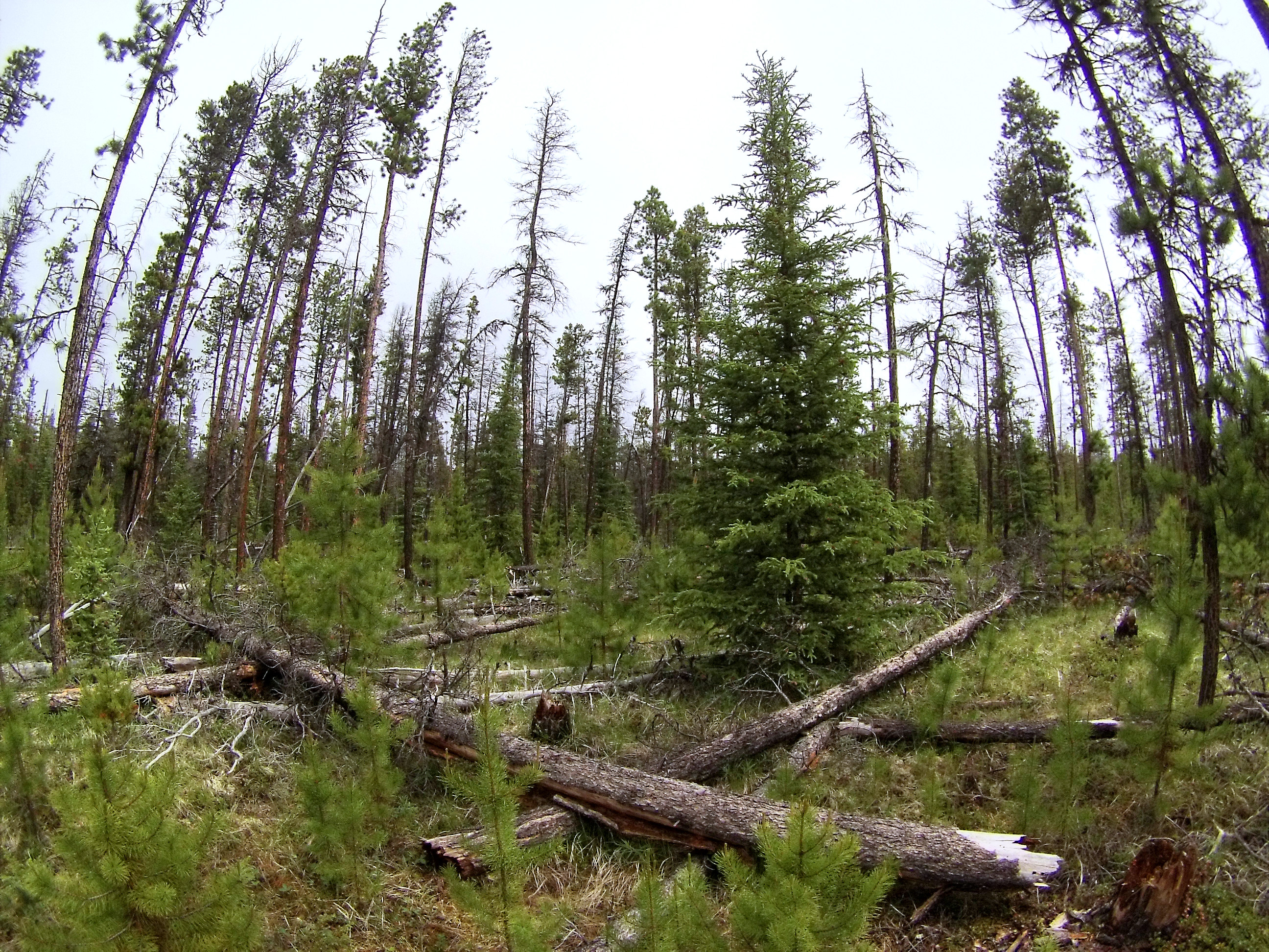
Figure 9. This area was on the map as ideal grizzly habitat.
My block had a few features on the map I hadn’t seen before: critical moose habitat and grizzly bear habitat. I was really excited to be able to get a glimpse of what these areas look like and snap a couple photos for my personal collection. I didn’t see any signs of moose or bears, but I did run into a horse in the moose wetlands, lots of cool birds, and I found a caribou shed (caribou are a species that drop their antlers every winter).
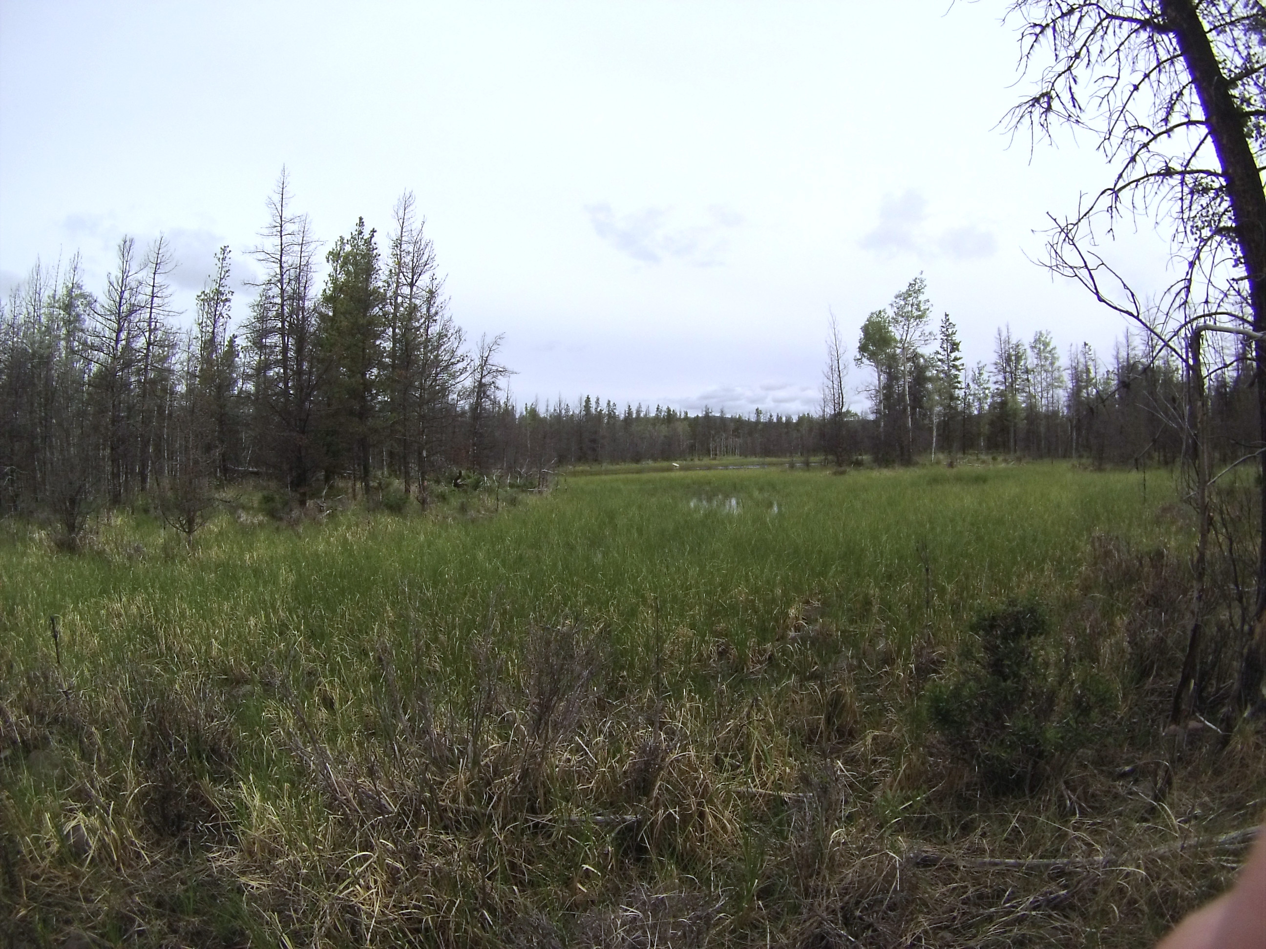
Figure 10. This is part of the “critical moose habitat” area. Now that it has been identified it will be protected during harvesting.
We left Chezacut at 2:30pm, giving ourselves 3 hours to get home. We have to come back out for a day trip to finish up later in the week, but overall the data collection went very well and it was a treat to be working in such great country.
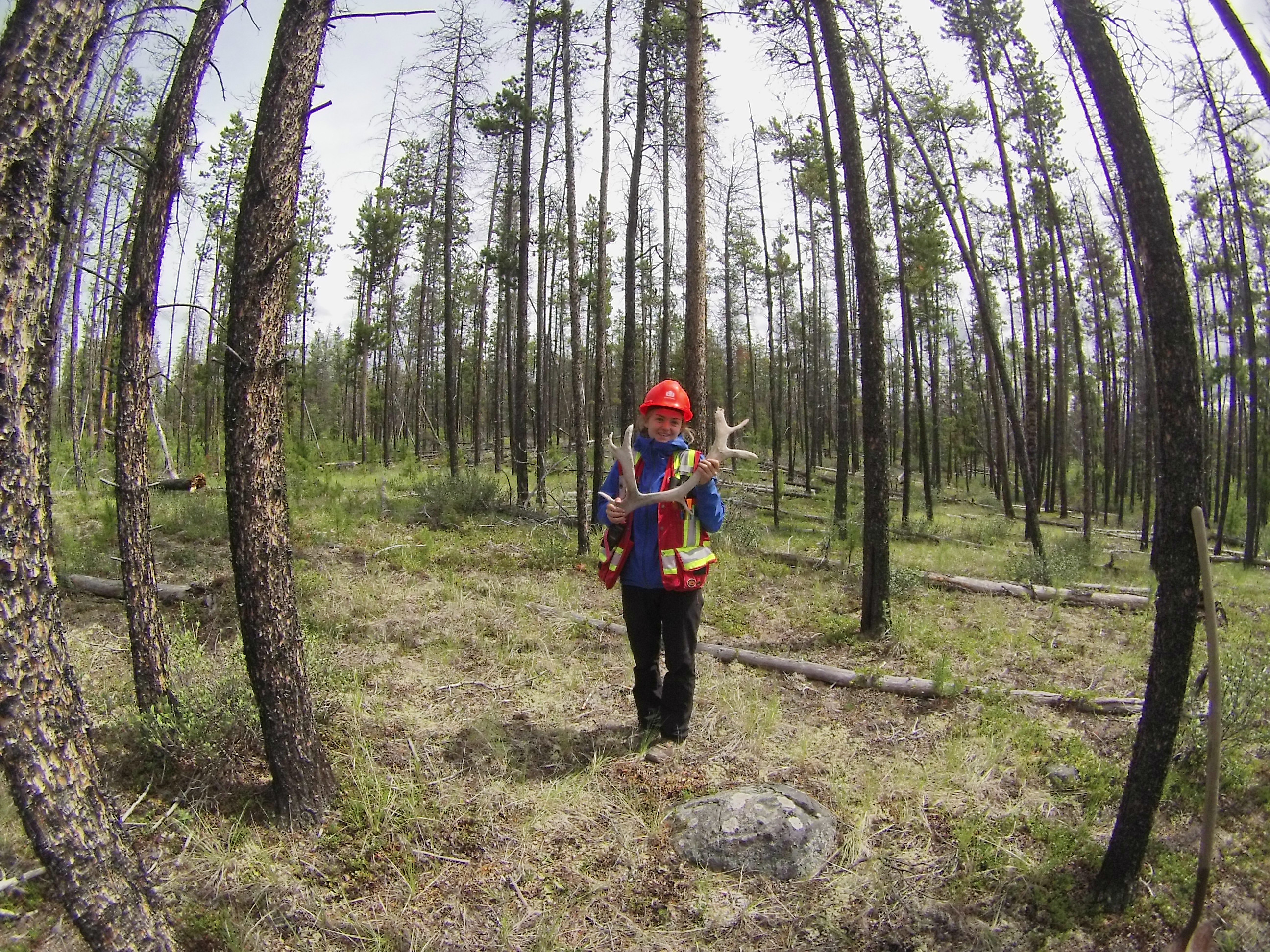
Figure 11. My first time finding a Caribou shed! I was so excited!
UPDATE: We returned to work on the remaining blocks on Friday, and had an enjoyable sighting of a mature grizzly bear just off of Highway 20. This job is always full of excitement! Next week I’ll be in camp at Anahim Lake and the whole office is coming out on the last day to hike part of the Rainbow Range Trail. Check back to hear all about it!
Thank you guys for reading! Take care.
Sydney
2 Comments
Your enthusiastic, descriptive writing style makes for an enjoyable read
Such a great read! Looking forward to reading more! 🙂